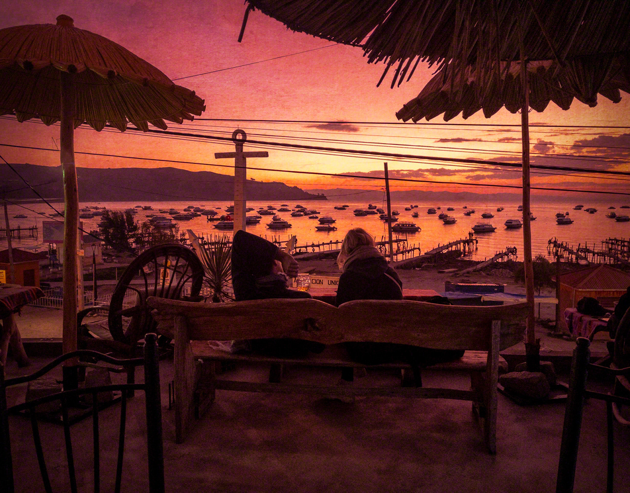
Not long ago when returning to the country of my birth I decided to visit the lands where my grandparents' properties were located: Cairoma and Araca, south of the city of La Paz (-67.538221 -16.902729 approximately from Google Maps).

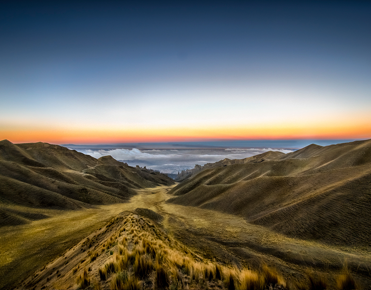
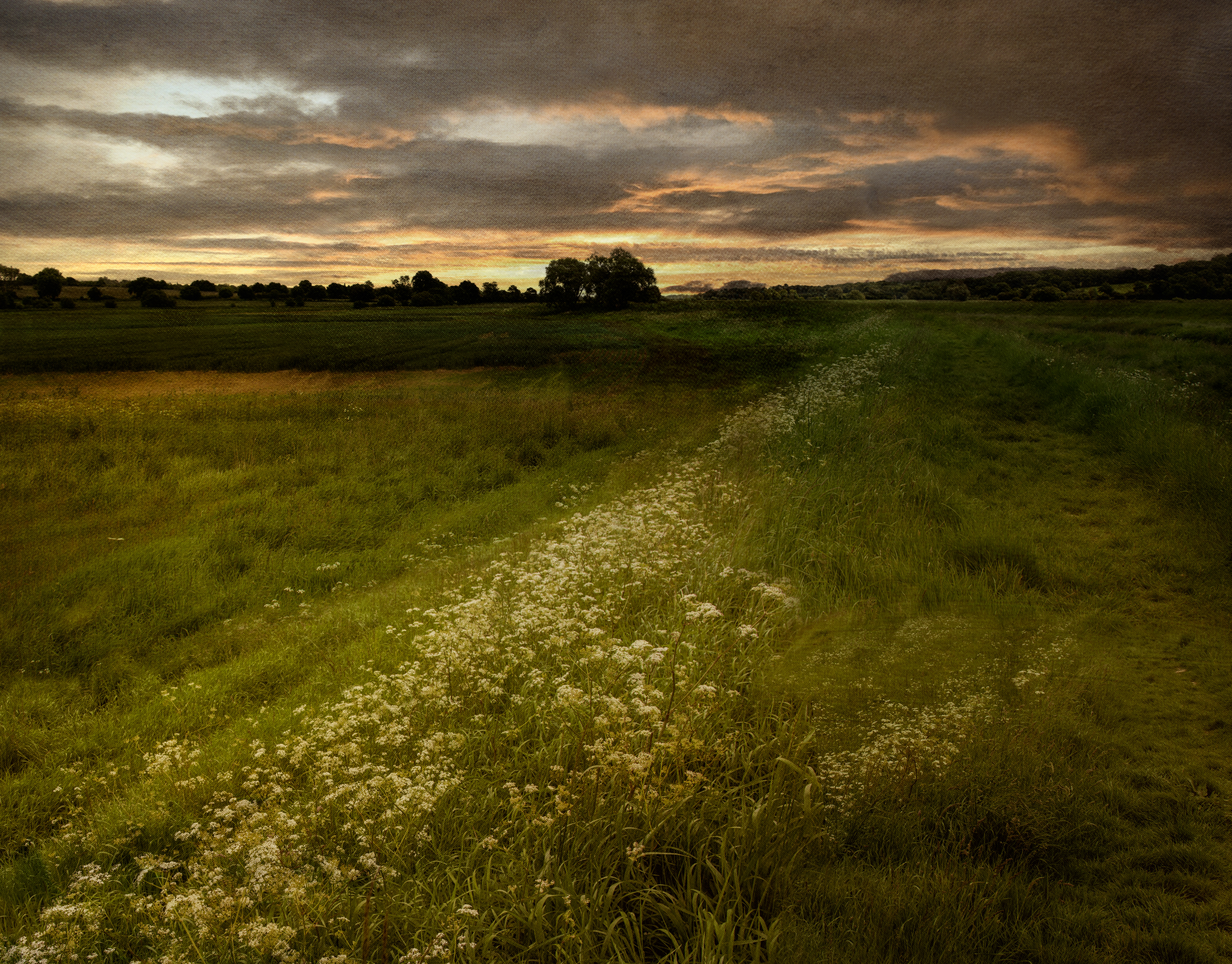
The stories I heard as a child of long journeys my mother, her brothers and sisters undertook as small children, travelling on baskets either side of mules through mountains, fertile valleys, high altitude planes and multi coloured lakes, on narrow paths, through wind swept canyons so windy that often the pack mules would be pushed to the precipice below. 
As adults my father and uncles rode horses whenever visiting their lands. They journeyed from west to east, following the valley. My journey was from east to west.

These childhood images have stayed with me and I have travelled in my imaginations with the images in this collection.

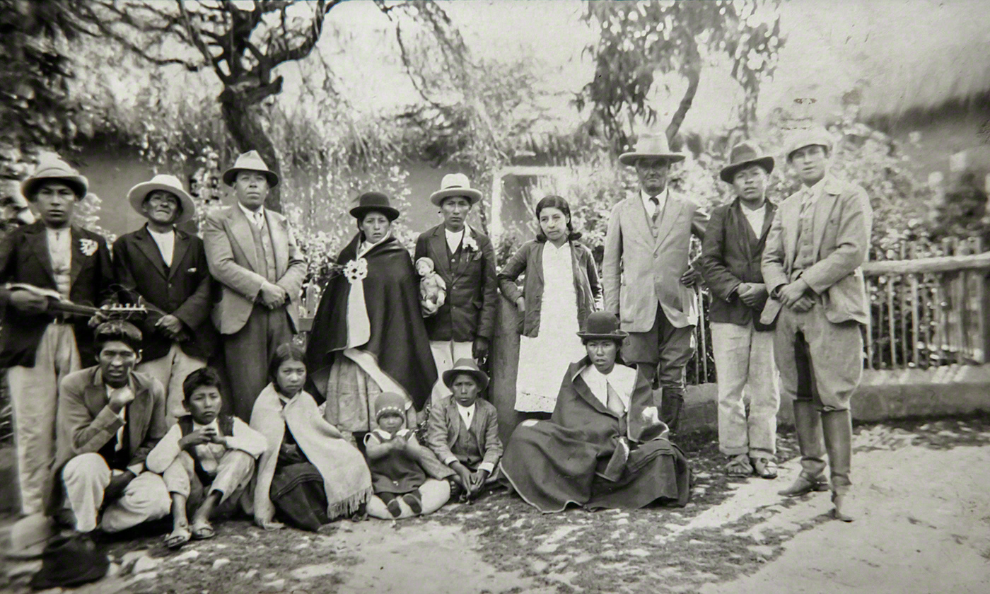
The monochrome photograph shows my father to the right wearing riding boots next to his father, wearing a hat third from the right; my uncle Alberto (my mother's brother), third from the left and his wife to the left of my grandfather Enrique Molina. This seems to be a marriage of two young locals.
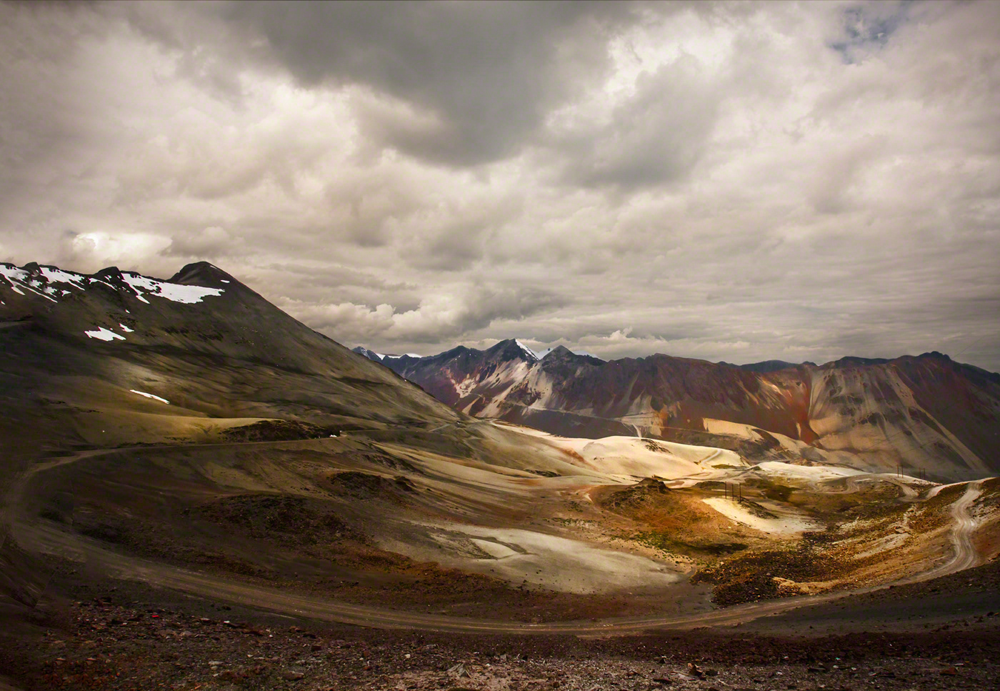
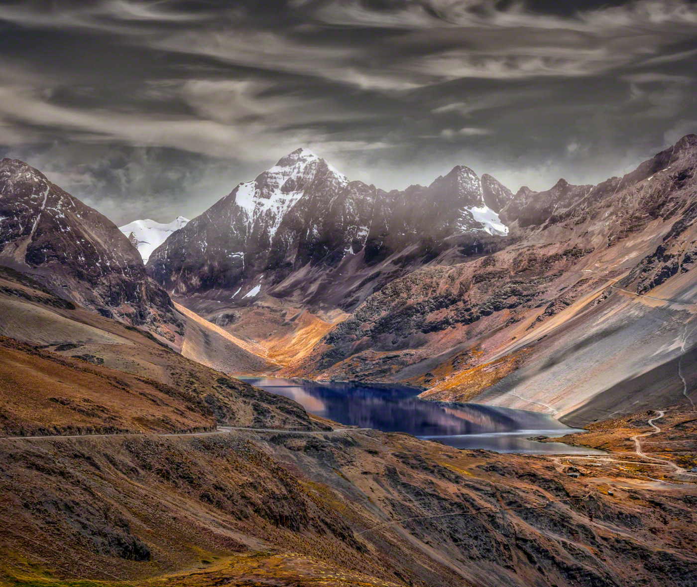
It is worth noting the various paths and roads and far away dwellings.
The snow peaks are part of the Cordillera Real, specifically Cordillera Tres Cruces
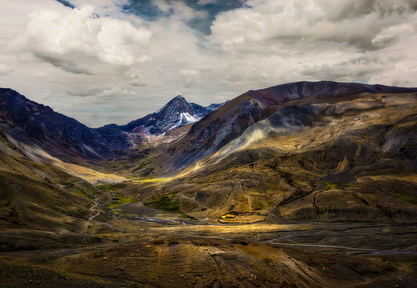
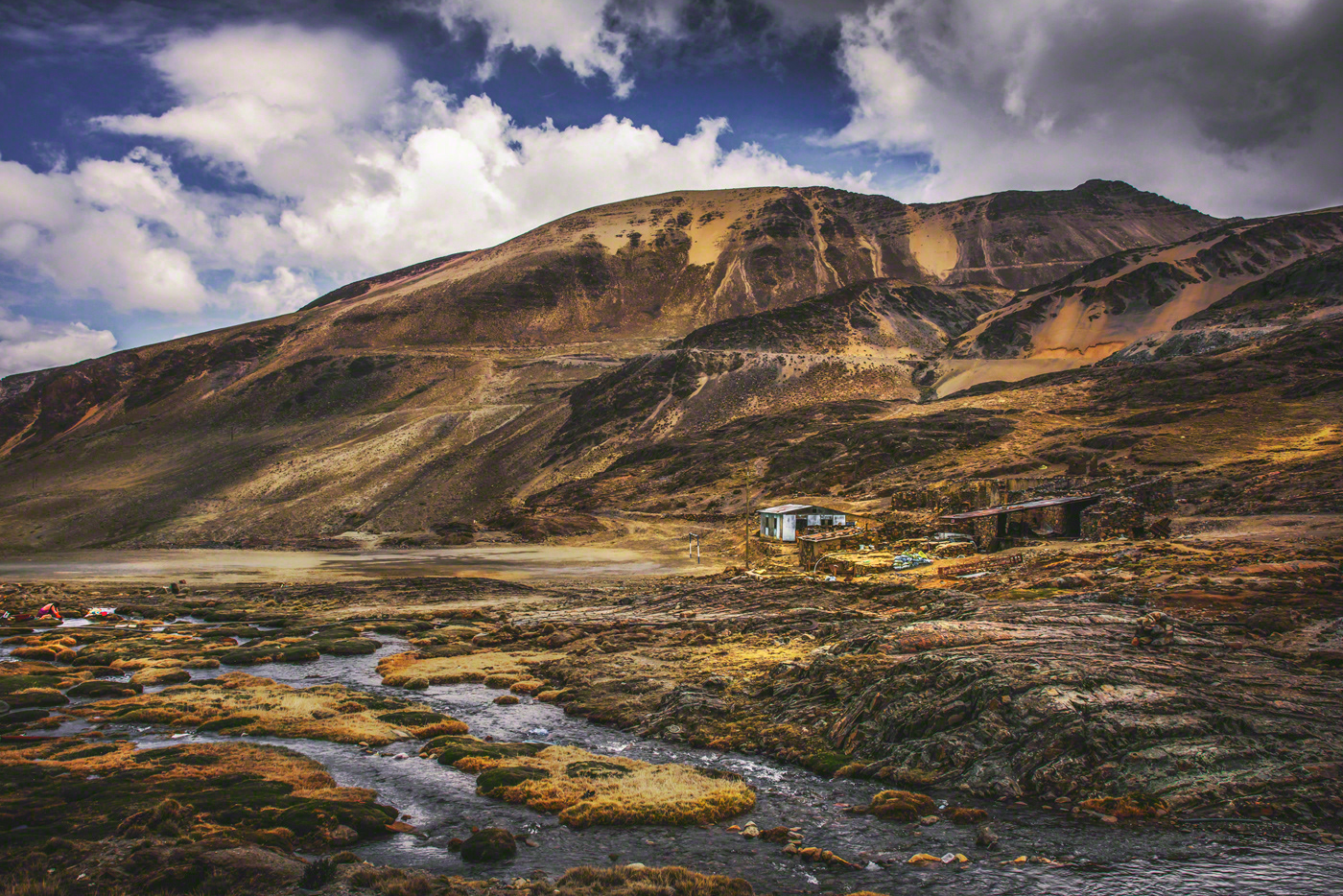
A remote dwelling... Imagine living so far away from anywhere?
Cordillera Tres Crucez
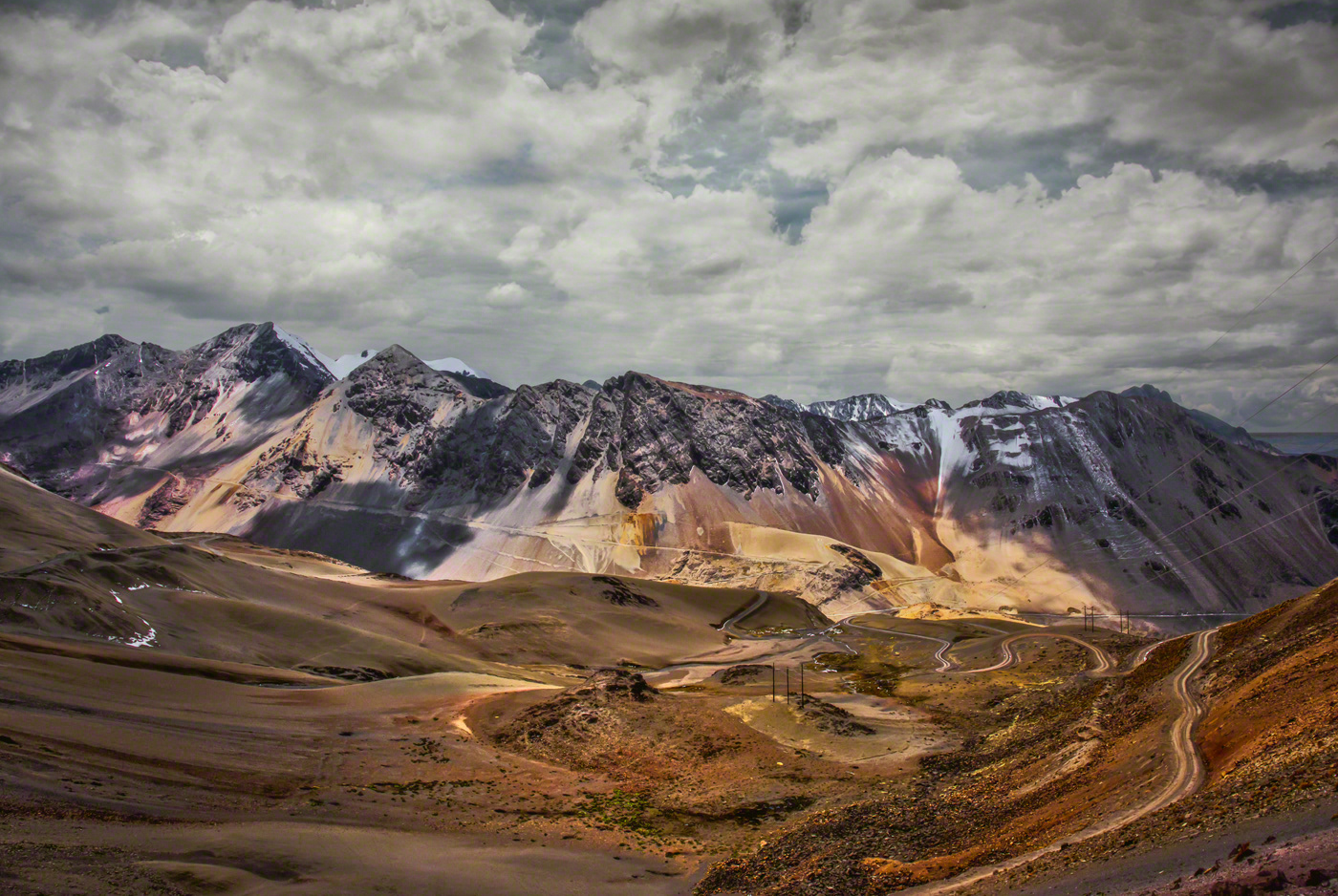
16.989619-67.387249
Cordillera Tres Cruces
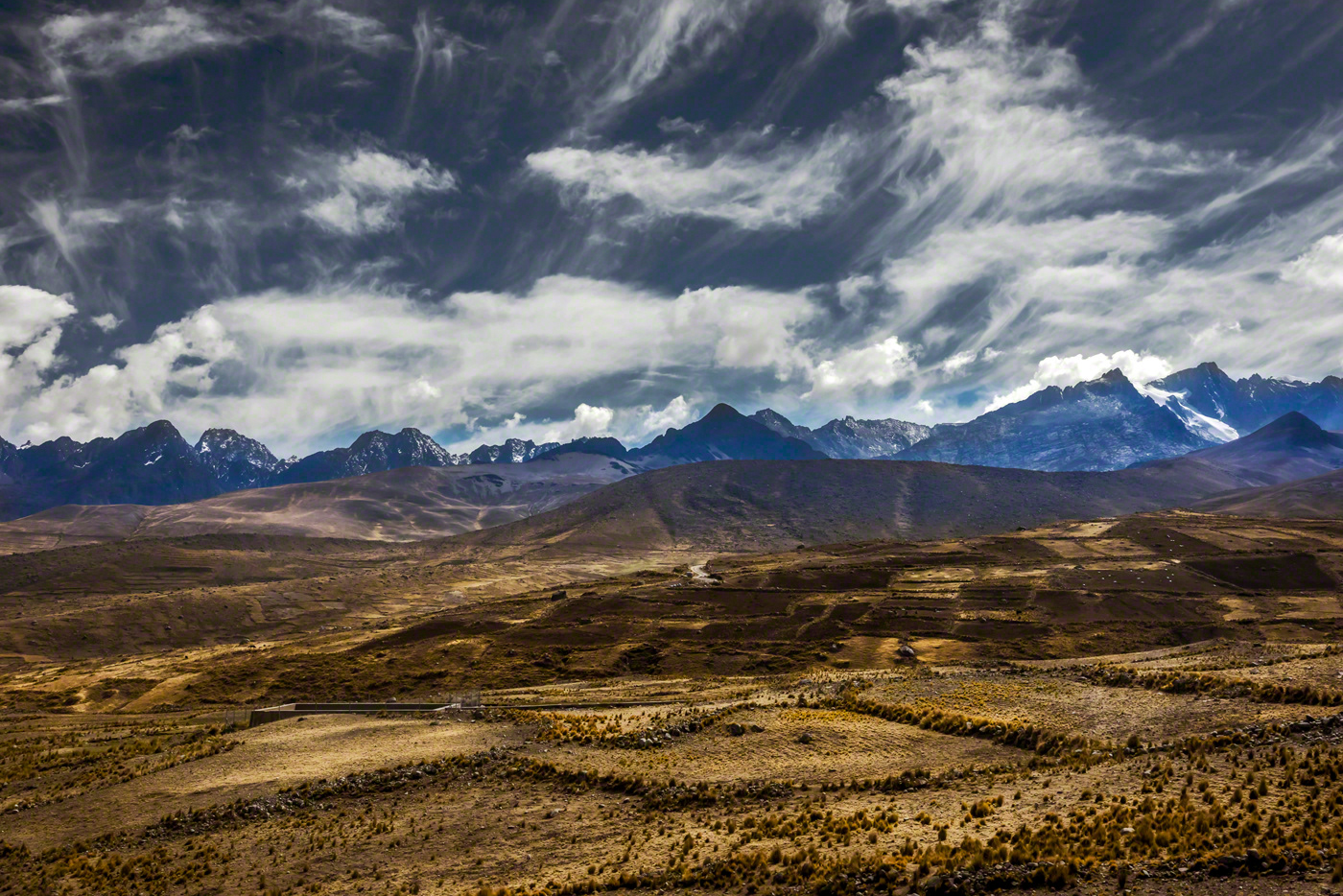
The fertile lands (the brown strip) have been tilled and the villagers are planting potatoes 
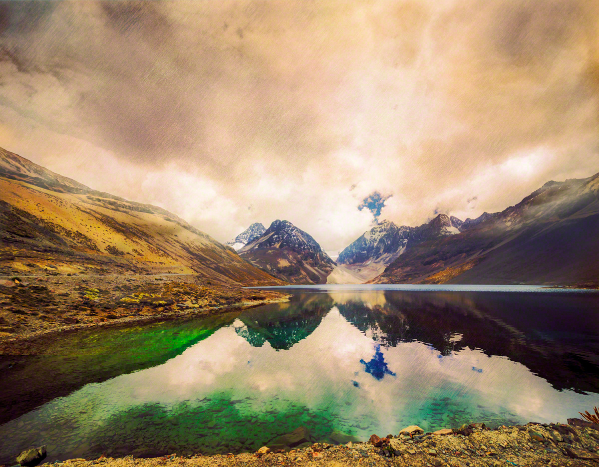
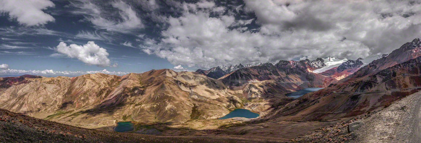
This lake is truly that colour due to the minerals on the hills
A football pitch and a woman washing clothes on the very left of the frame.

You may also like

Looking back: dawn over La Paz
On our way to Serranías de Murrillo, early morning and looking back over the city we left behind.
Copacabana, lake Titicaca sunsets
A second collection portraying Lake Titicaca in Bolivia, looking towards the setting sun
Nijar: the coast
The costal area of Nijar Nature Reserve, Andalusia, where the dry lands of Spain meet the sea...
Seven sunsets over the sacred Lake Titicaca
The first of 2 collection on lake Titicaca, sacred for both catholics and Aymara. A 2011 United Nations report found alarming concentrations of cadmium, arsenic, and lead in various parts of the lake. In 2012, the Global Nature Fund nominated the lake "Threatened Lake of the Year".
La Paz, Bolivia: yesterday and today (1975-2023)
I have published a book, back in 1975: "Imágenes Paceñas, lugares y personas". Here you can see the contrast of yesterday and today, 1975 and 2023
To Serranias de Murillo
Two 15 mile walks on the highlands of La Paz, Bolivia. This first to view the range in its majestic presence and the second to walk its bofedales (marshlands) to access the pass on the right. The second trip was most challenging with temperatures well below freezing with the fog and clouds turning to ice on the bowlders we walked on.
Three crops, Boughton Lees, Kent
Walking below the North Downs, on the Pilgrims Way: Boughton Lees, Charing, Eastwell
Greenwich Park in the snow - part 2
This second collection of Greenwich Park in the snow compares differently from the first one because I used my Nikon D7000 with a wide angle lens. When processing both collections I released the difference in data output by each one of the cameras which informed the final result in colour and tone.
Pictorialism, a photographic essay: Landscapes
I have collected some of my previous works that can possibly fit within the parameters of Pictorialism.
Cerro El Calvario, Copacabana - La Paz, Bolivia
Part 3 of my travel diary to La Paz, Bolivia. This 6 images show the hill of Calvario, or The Way of the Cross, in the small port town of Copacabana located on the southeastern side of Lake Titicaca.
Back to Top